- Denomination COMETA
- Duration 2013 - 2015
- Partners CartoGalicia, D3 Applied Tech., Televes
- Funding FEDER-Innterconecta 2013
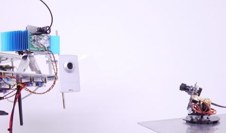
COMETA project has two main goals related with Unmanned Aerial Vehicles (UAVs) payloads. The first one is an high precision positioning system based on differential GPS for the field of cartography and topography. The second one is design and develop a secure, high capacity and low latency Communication system. All these requirements were fulfilled by using Free Space Optics (FSO) technology with the capability of Autopointing and Tracking.
![]()
![]()